Remote Sensing and GIS Laboratory
Activity
The activity of the members of the Laboratory is focused on the research of the implementation of the remote sensing methods (RS), Geographic information systems (GIS) and a digital relief model (DRM) in forestry, urban forestry, hunting management, nature and environment protection.
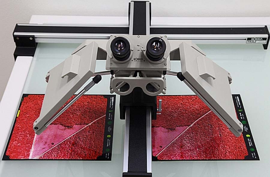
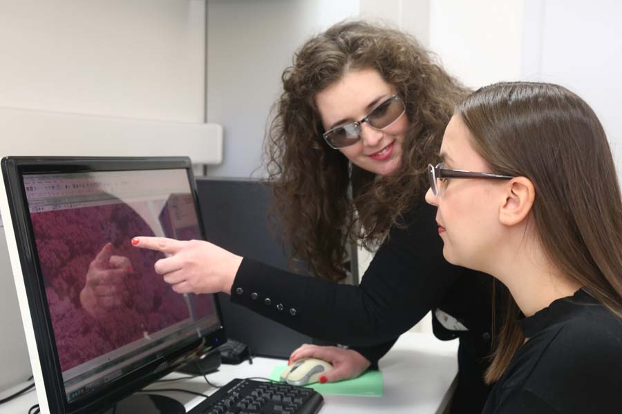
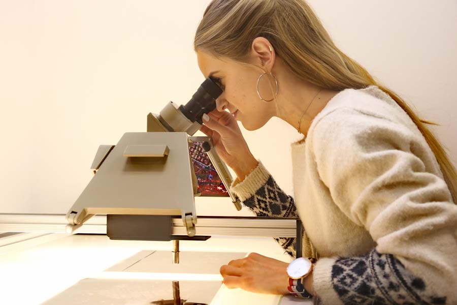
The particularity of the Laboratory is the visual interpretation of aerial images (colour, infra-red colour) in the stereomodel (3D) using stereoscope and/or digital photogrammetric workstation with a focus on identifying tree species and determining the health status of single trees. In addition, a stereomodel (3D) is also used for measurements based on image interpretation (determination of tree height, projection of the tree crown, texture, wood mass, etc.).
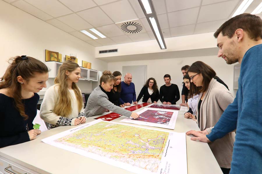
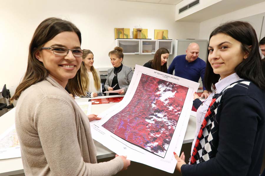
Research activities are related also to digital interpretation of multispectral and hyperspectral satellite imagery (supervised and unsupervised classification), and imagery of high spatial and temporal resolution (IKONOS, Quick Bird, WorldView2), for monitoring the state, modifications and biodiversity of forests; the land use mapping; biotope mapping of urban and wetland habitats, etc.
Other areas of interest include:
- Applying neural networks in remote sensing (applying neural networks to detect forest damage and applying neural networks to obtain parameters of the habitat from satellite images),
- the use of the GPS (tracking motion and wildlife activities by telemetric methods),
- production of digital relief model, digital ortophoto for environmental modelling (raster-GIS analysis, spatial-temporal analysis, geostatistics),
- the implementation of the RS (remote sensing) products in GIS.
The members of the Remote Sensing and Geographic Information Systems Laboratory have published more than 120 works in domestic and foreign journals and conference proceedings.
Main Equipment
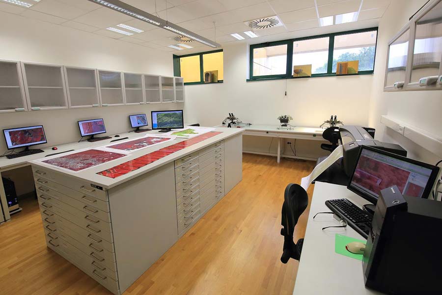
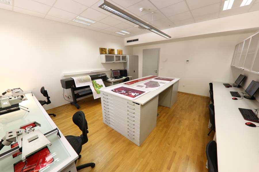
The laboratory is equipped with:
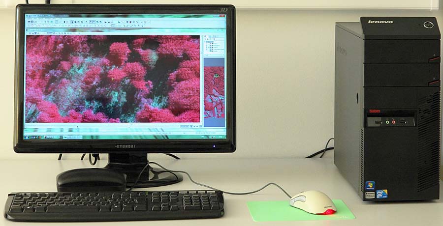
- photogrammetric workstation with appropriate software (PHOTOMOD) for the measurement and interpretation of digital aerial images.
- stereoscopes Sokkia and Condor (interpretoscope) for visual interpretation and measurement on analogue recordings
- Workstation with appropriate software (QTM) for processing and analysing the LIDAR data,
- computers with GIS programs ArcGIS 10 and format plotter of 42“.
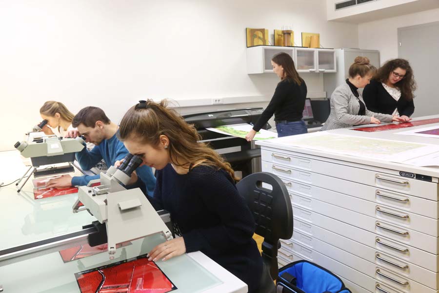
Photo Gallery